We are driving change through data.
https://www.youtube.com/watch?v=pyLKNPPG2MQ
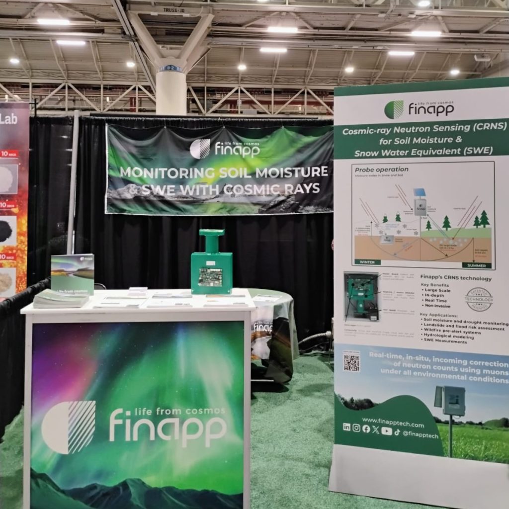
Finapp: Cosmic Ray Neutron Sensing (CRNS) technology for water measurement
Finapp has designed and patented the next generation of CRNS probes that use cosmic rays to measure water into the soil and snow non-invasively, on a large-scale, in depth and real time. This is the Finapp revolution: particle physics at the service of environmental and social sustainability.
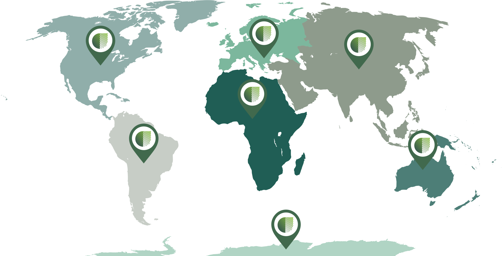

Finapp at a glance: our global impact
-
Reached: 7 continents
-
Installed: 750 probes in over 25 countries around the world
-
Conserved: 1.7 billion liters of water
-
Avoided: 1,300 tons of CO2 emissions
Our neutron sensing technology
The Finapp probe measures and provides unique data on water content in soil and snow using CRNS technology. It is a compact, robust, and passive sensor designed to work in any environment.
Discover the product
What is CRNS technology?
Cosmic rays come from space and, upon contact with the Earth’s atmosphere, generate a cascade of particles, including fast neutrons. These neutrons have the unique peculiarity of interacting mainly with water molecules.
When fast neutrons come into contact with water in the ground or snow, some are absorbed and others are reflected back into the air, losing energy to become “slow neutrons.” The science is simple: a large difference between the number of fast and slow neutrons implies a large amount of water, and vice versa.
- Deep measurement: Fast neutrons penetrate deep into the ground (or meters into snow), making the data representative in depth.
- Large scale: Slow neutrons are distributed over large distances, allowing us to monitor water content over vast areas—about 5 hectares at sea level.

Finapp solution
Starting from a unique knowledge of water content gathered by our CRNS Finapp probe, we offer specific solutions tailored to different industries.


Do you have a project in mind? Whether for agriculture, industry, or research, let’s discuss how CRNS data can support your goals.