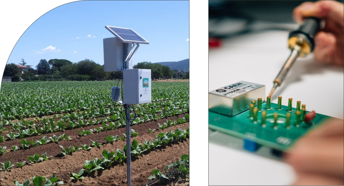
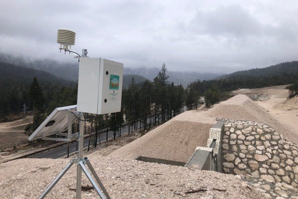
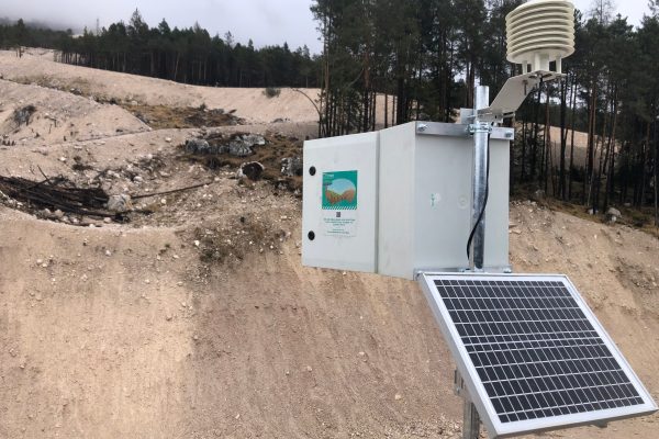
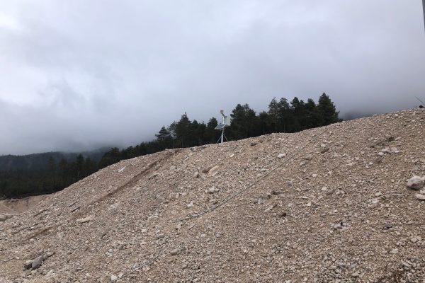
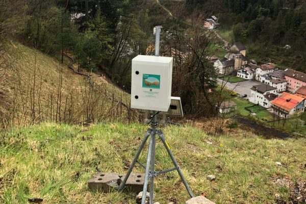
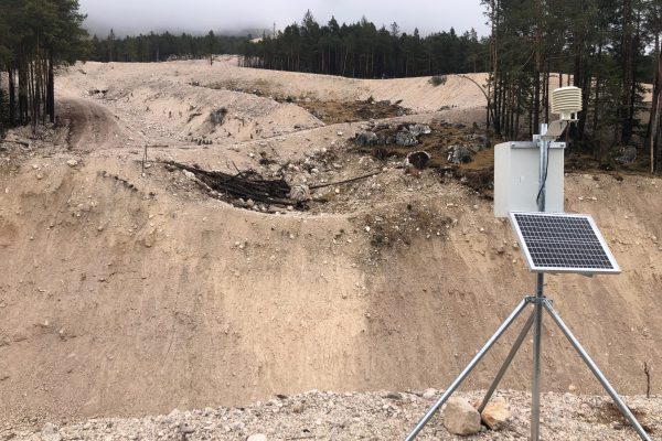
Landslides, floods and fires are a common serious risk to many parts of the World. Learn how Finapp probes help to mitigate the negative impact of these agents on people, natural habitats, transportation and the economy.
Descriptions
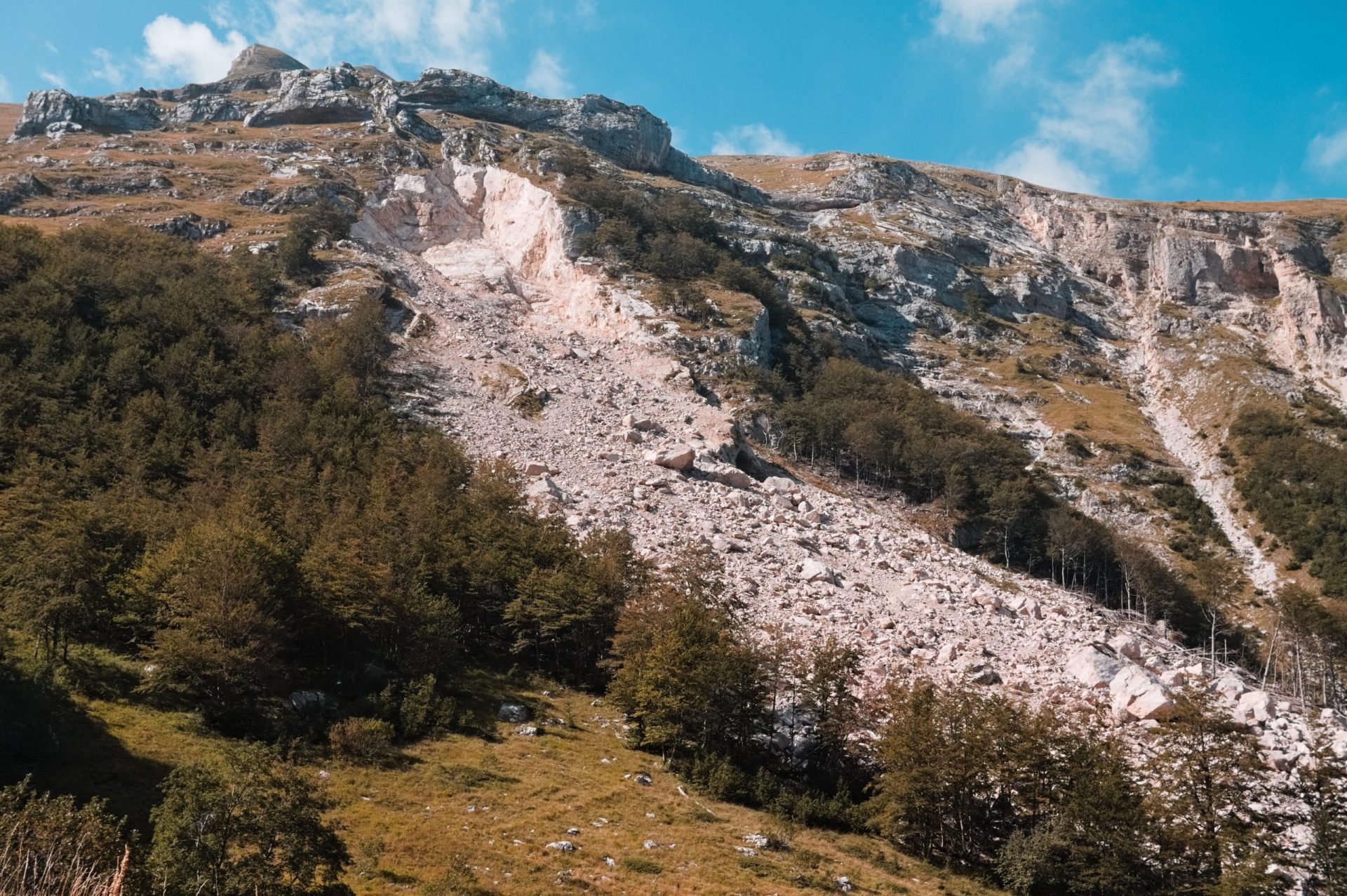
The knowledge of soil moisture provided by Finapp probes allows a different approach to the issue of pre-warning. Surface landslides and flooding are closely linked to a high level of soil saturation, at the opposite very dry soils are a prerequisite for fire development. The ability to have representative large-scale, deep, real-time data significantly improves knowledge of the state of the land and thus risk assessment. By integrating predicted weather data and an artificial intelligence approach to reconstruct past disaster events, we are able to project the level of risk into the future, up to three days ahead.
Pros and Features
- Multihazard: pre-warning available for surface landslides, floods, fires
- Site Specific: based on data measured by the probe and the history of that location. It is not generic information for an entire area or province.
Compared to traditional sensor technology – rain gauges, hydrometers, inclinometers, cameras – Finapp not only provides real-time measured data, but also pre-alerts up to three days in advance, with additional advantages
- Small size and weight for easy installation, requiring no site preparation
- Very low maintenance by having no moving parts or consumables.
- Very low power consumption allowing it to work without connection to the power grid, thus operating even in remote areas
- Fully integrate into any data acquisition system thanks to the API and compatibility with other data loggers
FAQ – common questions
Can it inform on any type of landslide?
No, The Pre-warning Index is designed for sites prone to superficial landslide and debries flow, since soil moisture measured by Finapp probes goes 50cm in depth. Landslides where the rupture surface is deep are not studied, being less affected by soil moisture in the first 50cm depth.
What breadth of mountain areas is Finapp able to monitor? Even entire valleys?
The area covered by a Finapp probe depends on the altitude and installation height. Typically, the range is 10-20 hectares
Is there a slope limit where the sensor can be used?
No, the probe can also be installed on very inclined terrain since the neutrons are spatially distributed in every direction.
How does the sensor help in fire prevention?
The automation of such extensive data, from remote sensing and field data, is necessary to rapidly assess wildfires and mitigate related damages.
Where should the sensor be installed?
The sensor covers an area and must be installed in the most critical or representative site that need to be monitored.
Is the sensor able to distinguish the humidity of the material present in the undergrowth from the soil humidity?
No, the value measured is absolute and includes all components that contain water.
Does the sensor offer useful information for forest or bush fires?
Soil moisture measurement initiatives implemented by the most modern measurement networks have facilitated the use of soil moisture information in the development of innovative applications for fire prediction and risk management. When combined with remotely sensed data, field measurements of soil moisture serve as stronger fire assessment predictors than on their own.
Meeting customers’ needs
At Finapp we are committed to meeting the scientific measurement instrumentation needs of our customers, we enthusiastically help all those who work sustainably and fairly, we support those who advance science and technology for the benefit of humanity. Finapp believes in innovation as well as service.
Do not hesitate to get in touch with us for an appointment, visit, consultation, we will try to answer all your questions trying to suggest some possible innovative solutions.
Filter
Business Cases, Poster, Abstract, Literature
Here is how professionals and scholars use Finapp probes.
A good example of how to get the maximum benefit from our innovation.
